

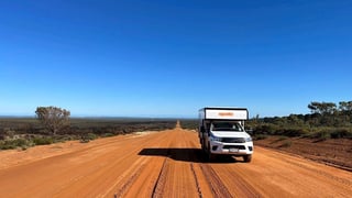
 Apollo Adventure 4WD
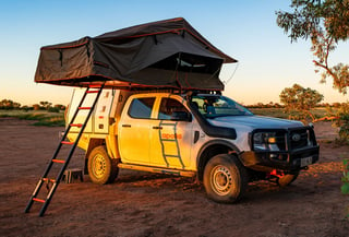 Apollo Overland
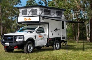 Britz Maverick
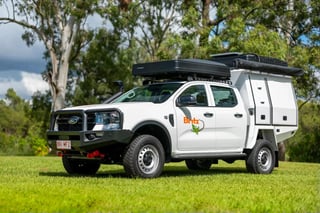 Britz Warrior
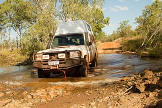 Bushcamper with winch
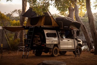 Discoverer 4 berth
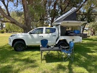 Explorer 2-5 berth
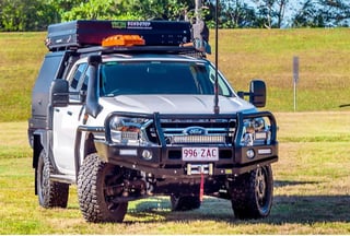 Ford with electric roof tent
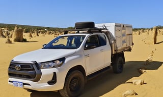 Hilux 2 berth
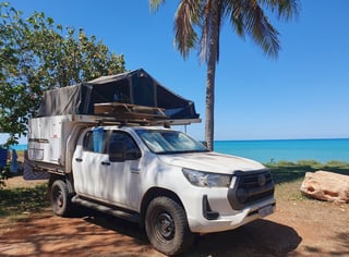 Hilux 4 berth
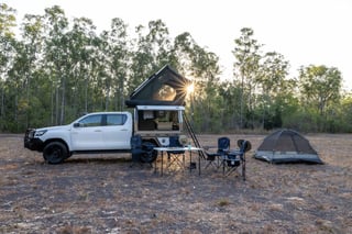 Hilux Adventurer
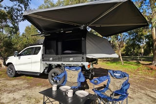 Hilux with fold-out bed
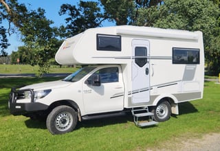 Hilux motorhome — western depots
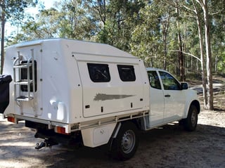 Hilux Pod
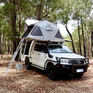 Hilux dual roof tent
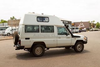 Hitop 4x4
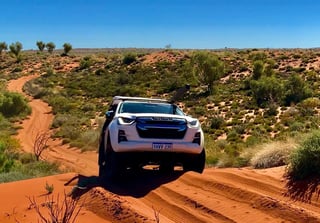 Isuzu 2-4 berth
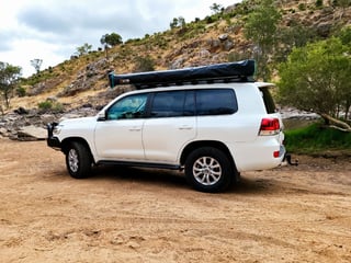 Landcruiser 6 seats
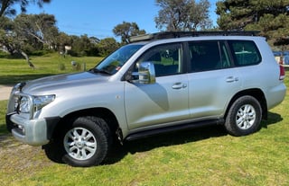 Landcruiser 8 seats with swags
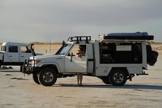 Landcruiser Canopy
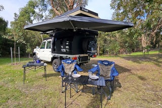 Landcruiser with electric roof tent
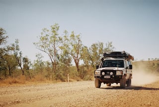 Landcruiser Rooftop
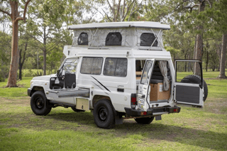 Landcruiser Trailfinder — 2 berth
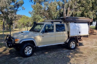 Landcruiser V8 with electric roof tent
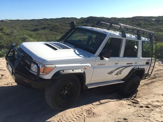 Landcruiser Vortex
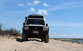 Landcruiser Workmate
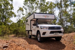 Mighty 4WD
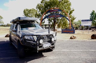 Nissan 4 berth (manual)
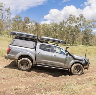 Nissan 4 berth (automatic)
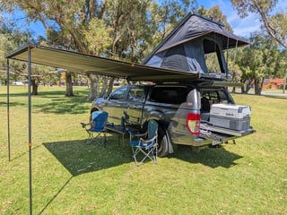 Ranger roof tent
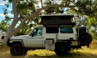 Pop-up Bushcamper with slide-out kitchen
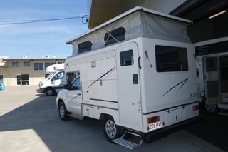 Budget Adventure 4WD
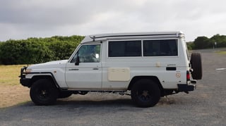 Poptop camper
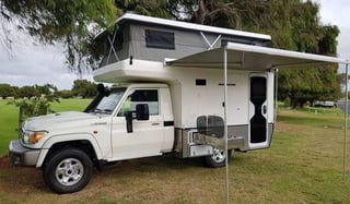 Poptop motorhome
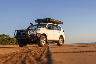 Prado roof tent
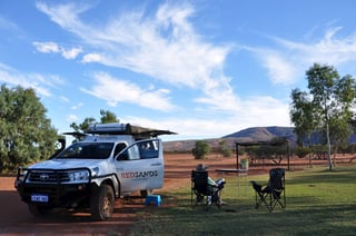 Redsands 2 berth
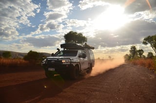 Redsands 4-5 berth
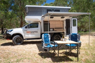 Redsands Wanderer Luxe
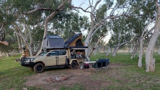 Family 5 berth
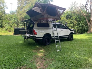 Toyota Canopy with one rooftop tent
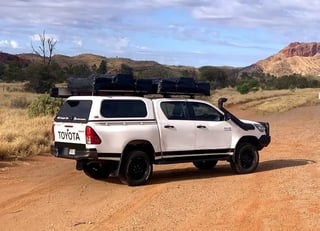 Toyota Canopy with two rooftop tents
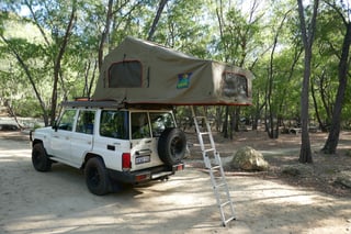 Toyota Landcruiser with large roof tent
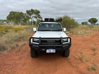 Toyota Prado
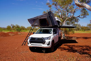 Twin Rooftop
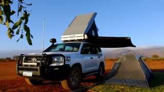 Wanderer Rooftop
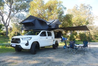 Explorer dual rooftop
What the drive involves
The Kalumburu Road leaves the Gibb River Road between Mount Barnett and Kununurra and runs north through the Kimberley past Drysdale River Station to the Aboriginal community of Kalumburu, near Honeymoon Bay and McGowan Island. Most travelers take it as far as the Mitchell Plateau turn-off and follow the Port Warrender Road to Mitchell Falls. The road is unsealed, with heavy corrugations, river crossings such as the King Edward River, and low speed limits on the northern section.
What written approval means for your hire
Written approval means the trip is approved before you collect the camper and noted on your rental agreement. Ask for it when you book: approval can be refused, or come with conditions such as the season, a satellite phone or travel with a second vehicle. Driving there without it breaches the hire terms, and damage on the way is usually not covered.
On the camper pages, Kalumburu Road access as far as the Mitchell Plateau turn-off follows from the camper being allowed to Mitchell Falls, which no other road reaches. North of the turn-off to Kalumburu, only campers approved for the whole road are listed.
Questions about the Kalumburu Road
Do I need a permit for Kalumburu?
Yes. Entering the Kalumburu community area needs a permit from the community, and camping at Honeymoon Bay and McGowan Island is booked and paid locally. Mitchell Falls needs its own Uunguu Visitor Pass.
Are there speed limits on the Kalumburu Road?
Some campers have a low limit, such as 60 km/h north of Drysdale River Station, because of the corrugations and crossings. Your camper page lists its limits.
Where can I get fuel on the Kalumburu Road?
At Drysdale River Station and, at limited hours, in Kalumburu. Fill up on the Gibb River Road as well, and carry enough for the return to Mitchell Falls.