

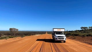
 Apollo Adventure 4WD
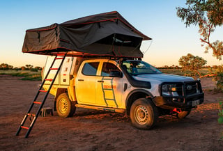 Apollo Overland
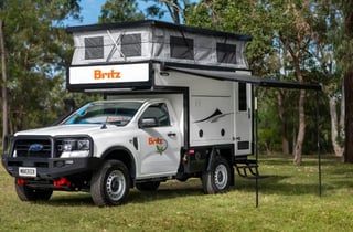 Britz Maverick
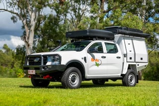 Britz Warrior
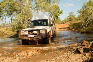 Bushcamper with winch
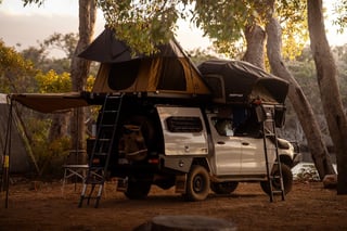 Discoverer 4 berth
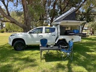 Explorer 2-5 berth
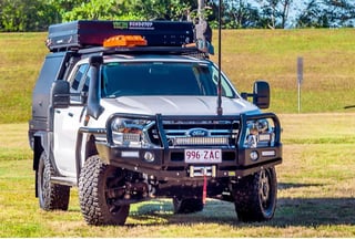 Ford with electric roof tent
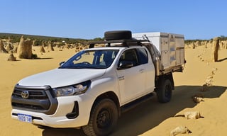 Hilux 2 berth
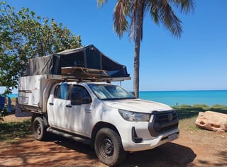 Hilux 4 berth
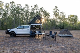 Hilux Adventurer
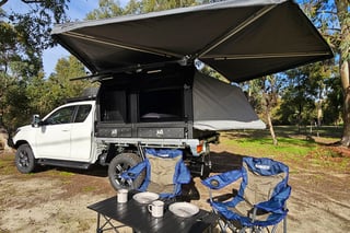 Hilux with fold-out bed
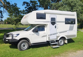 Hilux motorhome — western depots
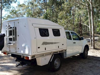 Hilux Pod
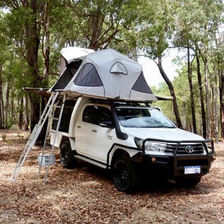 Hilux dual roof tent
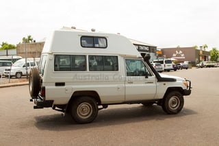 Hitop 4x4
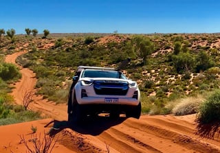 Isuzu 2-4 berth
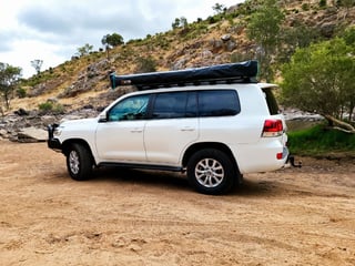 Landcruiser 6 seats
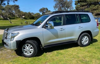 Landcruiser 8 seats with swags
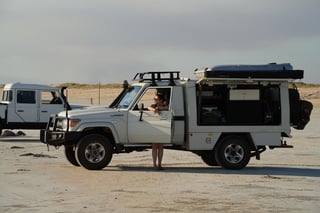 Landcruiser Canopy
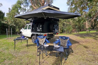 Landcruiser with electric roof tent
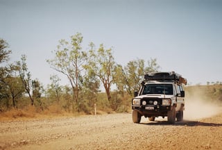 Landcruiser Rooftop
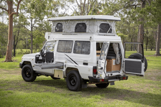 Landcruiser Trailfinder — 2 berth
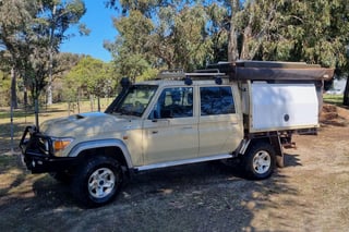 Landcruiser V8 with electric roof tent
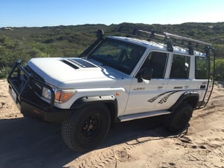 Landcruiser Vortex
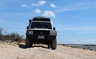 Landcruiser Workmate
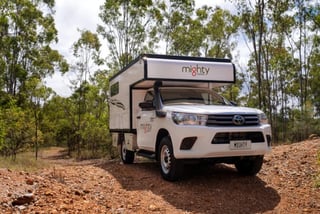 Mighty 4WD
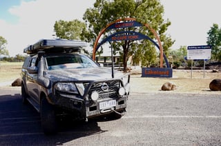 Nissan 4 berth (manual)
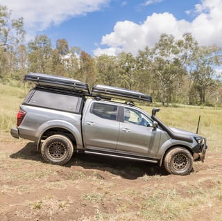 Nissan 4 berth (automatic)
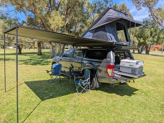 Ranger roof tent
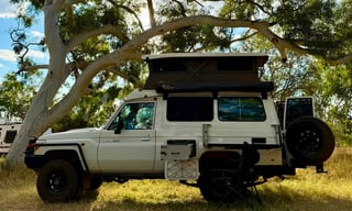 Pop-up Bushcamper with slide-out kitchen
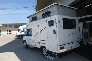 Budget Adventure 4WD
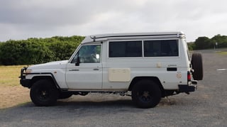 Poptop camper
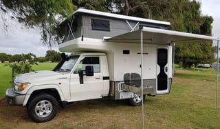 Poptop motorhome
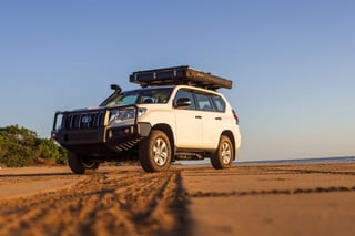 Prado roof tent
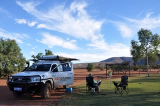 Redsands 2 berth
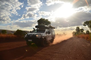 Redsands 4-5 berth
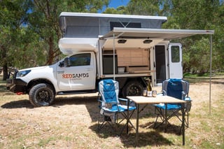 Redsands Wanderer Luxe
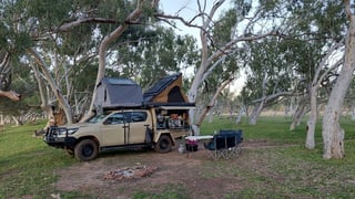 Family 5 berth
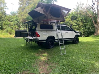 Toyota Canopy with one rooftop tent
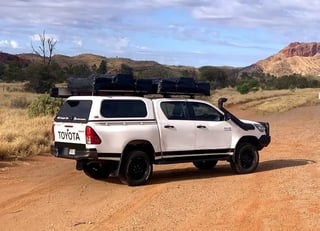 Toyota Canopy with two rooftop tents
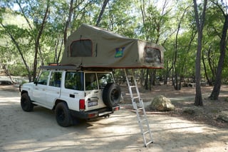 Toyota Landcruiser with large roof tent
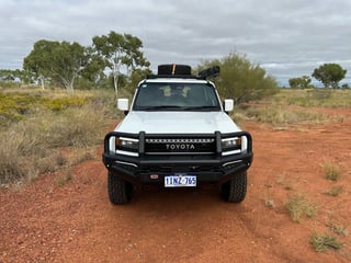 Toyota Prado
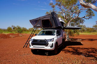 Twin Rooftop
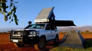 Wanderer Rooftop
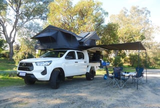 Explorer dual rooftop
What the track involves
The Mitchell Plateau Track is the Port Warrender Road. It leaves the Kalumburu Road about 160 km north of the Gibb River Road and runs about 85 km to Mitchell Falls Campground in Mitchell River National Park. The track is narrow, winding and at times extremely rough, with washouts and corrugations, and the park is open to 4WD vehicles only. Drysdale River Station, 59 km up the Kalumburu Road, is the last fuel on the way in. From the campground, the walk to Mitchell Falls is 8.6 km return and takes four to six hours.
What permitted means for your hire
Permitted means the conditions of hire allow the camper on the Mitchell Plateau Track, and the standard insurance applies while you are there. It does not reserve a vehicle or a date, and not every camper permitted on the Gibb River Road is permitted here, so check the camper you book. Check the equipment list on each camper for the second spare wheel, the compressor and the UHF radio. You add the Uunguu Visitor Pass, the fuel range and the road report on the day you leave.
Questions about the Mitchell Plateau Track
Do I need a permit to visit the Mitchell Plateau?
Yes. Every visitor needs an Uunguu Visitor Pass from the Wunambal Gaambera Aboriginal Corporation; travelers by 4WD need the Ngauwudu Road Zone pass, which includes the Mitchell Falls walk. Buy it online before you set off, because there is no public internet or phone access on Wunambal Gaambera Country.
When can I drive to the Mitchell Plateau?
Only in the dry season. There are no fixed dates; the Kalumburu Road and the Port Warrender Road open when the rivers allow. The Shire of Wyndham East Kimberley publishes the road reports for both.
Where do I camp?
At Mitchell Falls Campground, at the start of the falls walk, or at Munurru on the King Edward River. Both charge camping fees and have basic toilets. Mitchell Falls Campground cannot be booked and works on a first come, first served basis.
Is Mitchell Falls worth the detour on a short trip?
Only if you have the days to spare. From the Gibb River Road the detour is about 250 km each way on slow, rough roads, plus a four to six hour walk at the end. If your itinerary is already tight, we recommend leaving Mitchell Falls out and spending that time at the gorges and campsites along the Gibb River Road itself.